Best Agriculture Drone Manufacturer In Chennai
Ask for Price
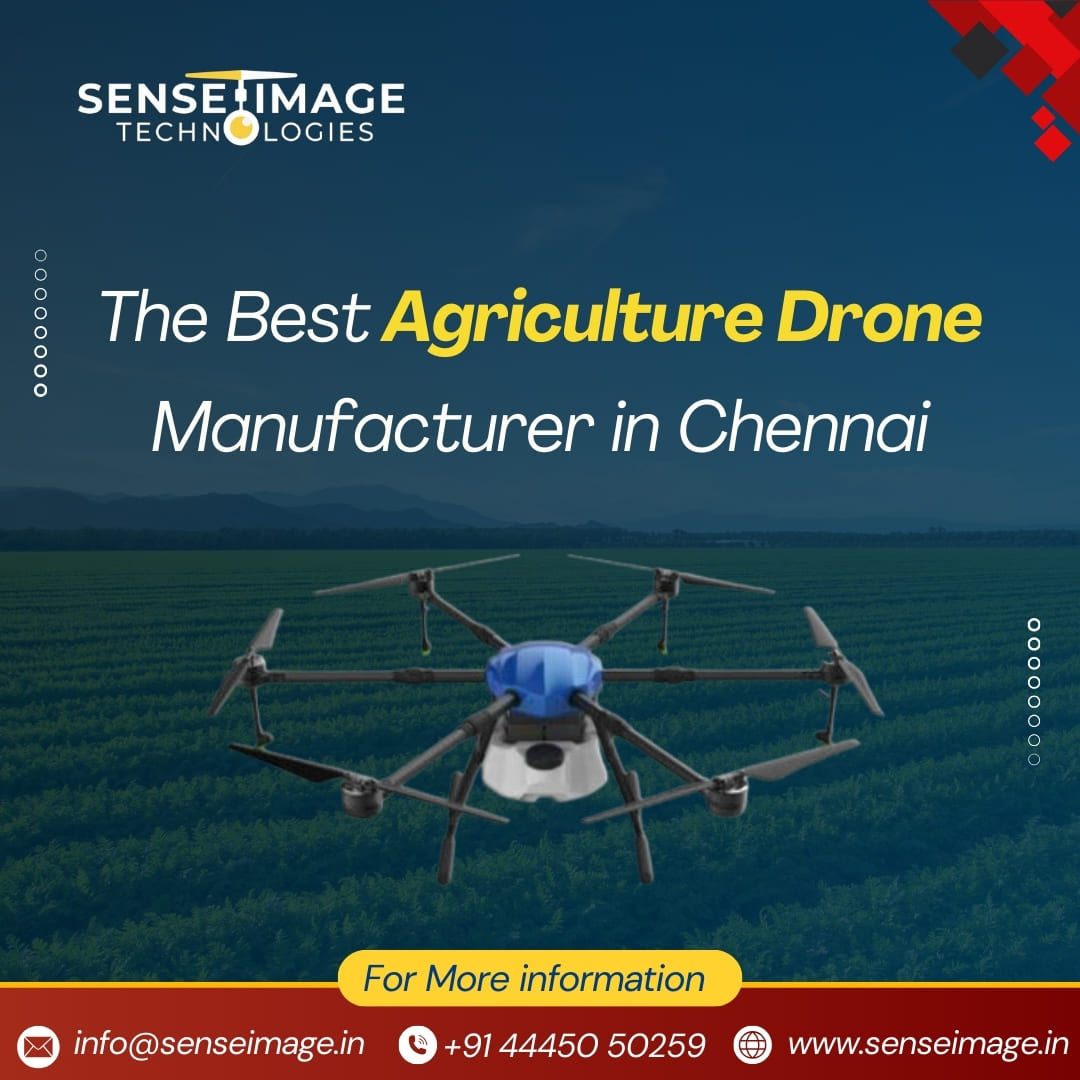
Drones can be implemented in Agriculture sector, to provide real tie information of the crops from the seedling stage to harvest stage, which helps the farmers to keep track of progression of crop, take active measures, when the crops are infected by pest, Insect, or any other natural calamities.
SenseImage has skilled drone pilots that can collect high-resolution data that can be used to measure and document crop damage caused by unforeseeable events, and so on. The output rendered from drone raw data as 2D or 3D orthomosaic help farmers comprehend and discover new ways to boost agricultural yields while reducing crop damage.
SenseImage has skilled drone pilots that can collect high-resolution data that can be used to measure and document crop damage caused by unforeseeable events, and so on. The output rendered from drone raw data as 2D or 3D orthomosaic help farmers comprehend and discover new ways to boost agricultural yields while reducing crop damage.