Monitor Analyse And Grow Drone Services For The Modern Farmer
Ask for Price
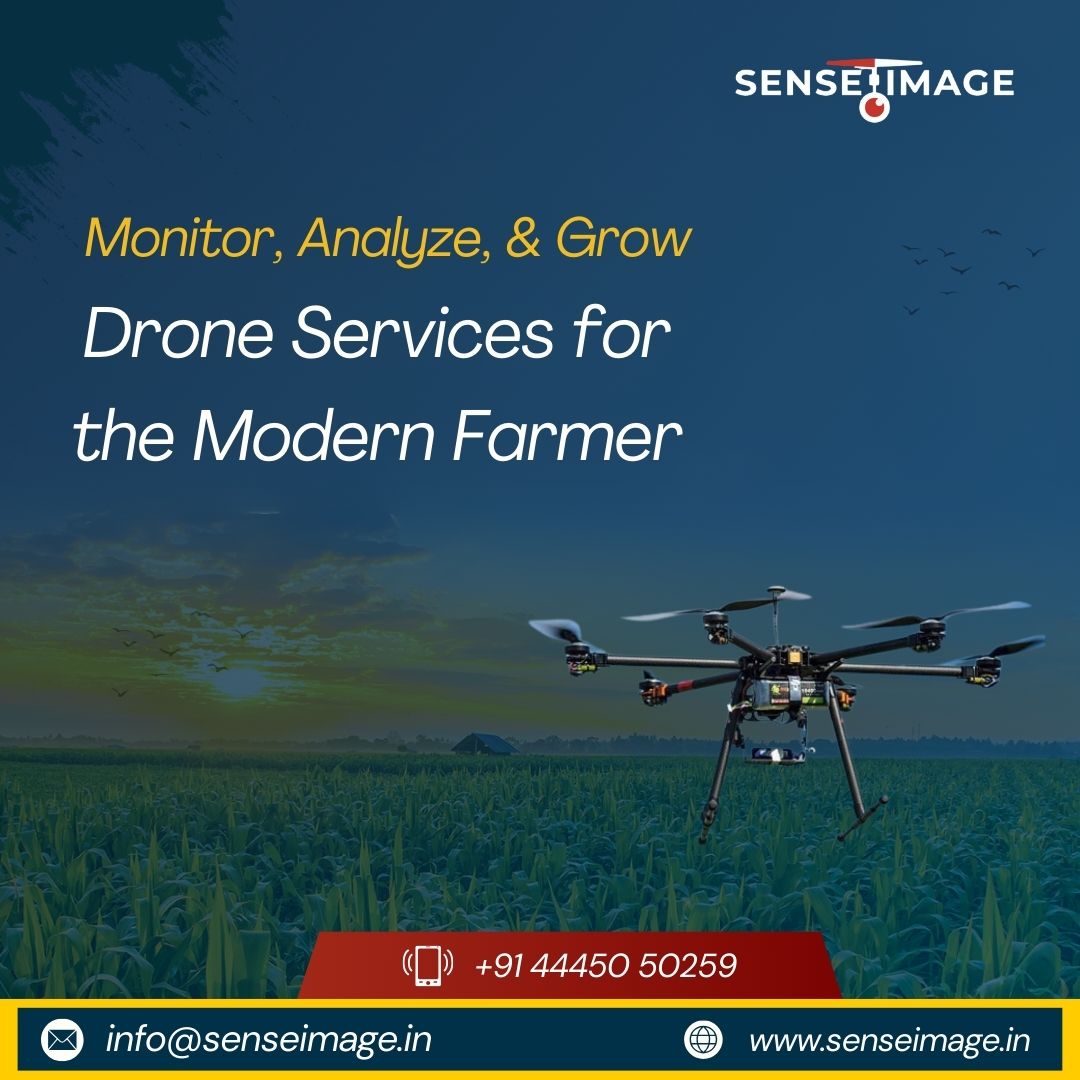
tools to produce rich client specific data sets, high quality imagery, terrain feature models and geo-referenced asset inspection and facilities management information.
We are a group of engineers wanted to achieve and give some industrial solutions using the UAV’s instead for fun flying and hobbies. After a continuous research of 5 years of R&D and 2 years of product oriental research we came up with a solution and started SENSEIMAGE TECHNOLOGIES innovations in the mid half of 2017.
We are a group of engineers wanted to achieve and give some industrial solutions using the UAV’s instead for fun flying and hobbies. After a continuous research of 5 years of R&D and 2 years of product oriental research we came up with a solution and started SENSEIMAGE TECHNOLOGIES innovations in the mid half of 2017.